Wildfire Smoke Has Arrived Back in Michigan Again This Week
Welcome back, hazy sunshine and bad air quality. We didn't miss you.
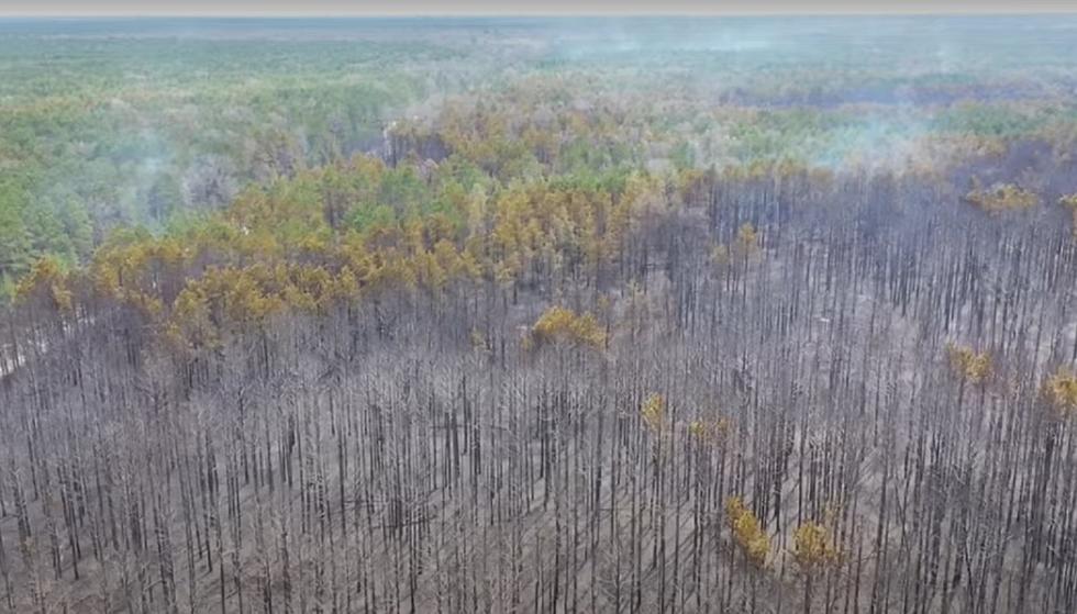
It's going to be another stretch of hazy, Mars-like weather this week here in the mitten state - a second-round of smoke from the west coast wildfires has crept its way across the country and arrived in the midwest.
Upper-level winds are delivering another large plume of smoke from the wildfires to the great plains and the upper midwest this week, which will create some hazy sunshine and less-than-ideal air quality conditions.
The smoke moved in last night, making for some slightly creepy moon pictures.
Today is technically the first day of fall, but it won't feel like it - sunny today with highs near 76. This warm weather will NOT help to push the smoke out of our area, so plan on hazy conditions for the rest of the week.
Today, tomorrow and Thursday look to be the worst. It may be so bad, in fact, that the air will smell like smoke. By Sunday, another weather system will be moving in and will push the smoke off of the mitten state.
The satellite pictures are pretty incredible - not only can you see the remnants of the hurricanes that have devastated the gulf coast region, but you can see the smoke on the map being blown up into the midwest. It appears on the map as a light gray color.
If you've got upper respiratory issues, be careful this week.

KEEP READING: Get answers to 51 of the most frequently asked weather questions...
More From 99.1 WFMK


