Flooding Next Major Concern for Michigan Weather Watchers
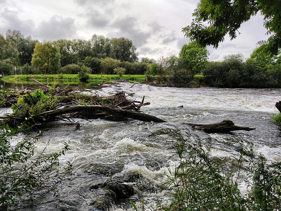
After a strong mid-January storm followed by days of arctic temperatures and incessant lake effect snow in some locations, winter hit hard and fast in West Michigan. However with a warm-up due that will bring above-average temperatures, the National Weather Service now cautions of a risk of flooding.
The NWS Grand Rapids put the following caution on social media:
there's a good chance all this fresh new snow will be drastically reduced next week. Something important to keep in mind: Rises in rivers will be possible as the snow melts. So keep an eye on the rivers around your area!
Commenters were quick to share thoughts on the rollercoaster weather
A little warmer would be nice, but 40 will be a nice mess. Oh well … so many dealing w so much worse!
Yeah. I'm over The Day After Tomorrow.
Yay! Please melt all this away
The winter has been an interesting one starting quietly with little snowfall but an absolute sunshine drought with Grand Rapids seeing less sunshine in 30 days than the city would see on one sunny summer day.
The National Weather Service in Northern Indiana, which services the southernmost tier of counties in Michigan has a similar forecast projecting well above normal temperatures in the upper 30s and 40s for the final days of January.
One commenter on that Facebook thread shared a lament that should serve as a reminder when he said, "So our typical 4 days of safe ice fishing in Indiana." With a warm-up, any ice formed will likely quickly become unsafe.
Blizzard of 1978: When Mother Nature's Fury Shut Down Michigan
Gallery Credit: Scott Clow
More From 99.1 WFMK

