The Remains of East Dayton in Tuscola County, Michigan
Not too much history is recorded about this tiny hamlet of East Dayton, which lies in Dayton Township in Tuscola County.
East Dayton - an unincorporated community named after the 1856 Republican (Free Soil) candidate for vice president - still shows up on paper maps from time to time, but not so much on internet maps. The exact location is at the intersection of S. Hurds Corner Road and M-46 (Sanilac Road).
East Dayton was established in 1856, with the township close behind in 1857.
That same year, an influx of birds, chipmunks, foxes, gophers, insects, mice, moles, porcupines, possums, rabbits, rats, skunks, squirrels, weasels, wolves, woodchucks and other critters descended upon the township eating all the crops, causing a famine that almost wiped out the entire population. Neighboring villages and townships helped the community by bringing more food.
Some of the townsfolk of East Dayton who perished in the famine can be found in the East Dayton Cemetery, just west of the intersection. The cemetery has been kept up nicely and many gravestones have been eroded over time, making it impossible to read names. Other graves have no markers.
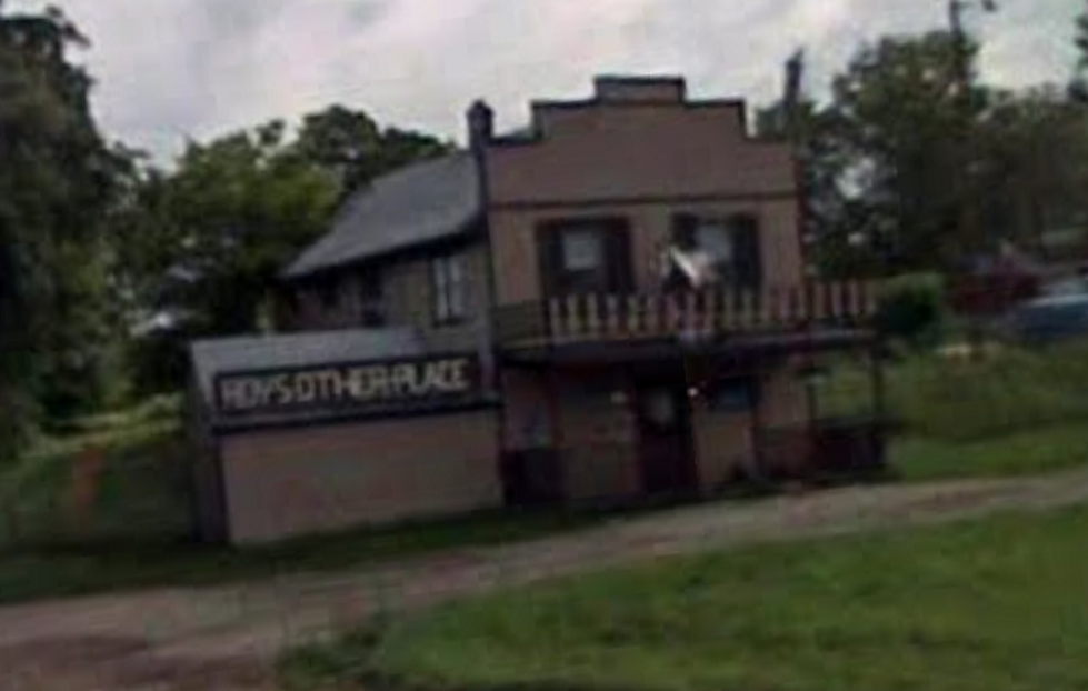
The township had a log cabin school, many saw mills, grist mills and various stores & shops. The post office was located on the corner that is considered to be East Dayton; it was in the same building as the old general store. Telephone service finally arrived in 1910 but electricity didn't show up until 1938.
There's hardly anything to see if you visit that intersection, except the old general store/post office (currently looks like a residence) and the knowledge that there was once quite a bit more at that location...but it's still a nice diversion to add to your Michigan roadtrip!
MORE RARE MICHIGAN TOWNS:
The Shadow Town of Lodi in Kalkaska County
The Ghost Town of Herman, Baraga County
Belvidere, Underwater Ghost Town
More From 99.1 WFMK